Showing posts with label Illinois River. Show all posts

Tuesday, September 18, 2012

Hiking Eight Dollar Mountain - Josephine County, Oregon

Thank you Gary Swanson for the following post: 

Today, we revisit a familiar area in order to look for interesting areas that are across the Illinois River, and thus far we have not found a road over there to connect.

This tree is typical of a lot of the area's weatherbeaten guardians of Eight Dollar Mountain.

The mountainous area in the background is across the Illinois River, and the road to Babyfoot Lake, and the Kalmiopsis Wilderness area winds around, and up before dashing off to follow a precipitous cliffside route that makes your toes try to escape from your shoes to dig into the carpeting for additional security!

We are now one companion short, but Tatanka still travels along in spirit.

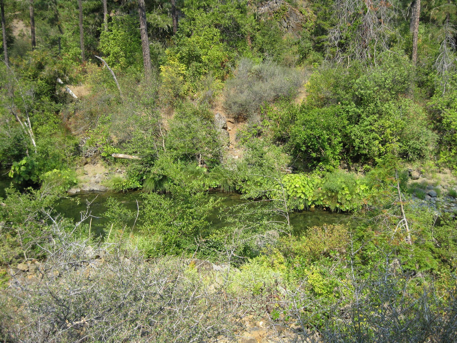
The Illinois is calm now, as it lazily passes through the valley enroute to its meeting with the mighty Rogue.

It's hard to believe that this is the same river that can quickly carry an an unfortunate automobile at a high speed, and toss it easily aside when is through playing with it.

The holes are deep, and as secretive, as the large fish that are watching us as we pass their lair.

The animal trail on the opposite side is well used, and links with the old mining road about a third of the way down the slope.

All along the road, there are trails leading down to the river. 

There are massive sand flats that testify to the raging torrents that crash through this valley in the spring.

When one is this far downriver you realize why forest fires are so very difficult to fight! The catastrophic winds created will whip through these narrow canyons, and by the time they get to it, the flames will be miles away, charging up another gorge.

This is the area we seek to explore, but as yet have not found the right series of roads to get there. It is across the river, and with the aid of a monocular, we saw old roads criss-crossing the hillsides.

A gold miner friend told us these roads were built by the Chinese workers, in response to my questioning the elaborate rock walls along their cliffside edges. 

These walls are built with stacked rocks, and run for miles down the canyon. I neglected to get photos, as I want to see them up close when we find a route.

This is as far as we go today. This is Deer Creek.

We considered wading across, but it is deep, and the rocks are sharp. That, plus the thought of hiking all the way back with wet boots, made the visions of blisters not worth it.

Plus that it's cold water.

Like everything else out here, there are mining claims on most every inch of waterfront.

You may still travel through the area, but it is illegal to even pick up any rocks and minerals.

In the flat area across the creek, are the remains of a large vehicle that was deposited by a flood, and who knows how far it was carried?

The peak in the background is where the Illinois will pass enroute to its meeting with the Rogue.

As far as we know, this is all that remains of an old U.S. Forestry Service building that served as quarters for the personnel assigned to this area. I do find it hard to believe that the government would erect such an elaborate foundation for a structure so far from anywhere, but it was probably "only tax dollars."


The old trail winds up to the right, and we bid goodbye to Deer Creek.


This area on the creek is also held by mining claims.

That is a future target for exploration, and we can see the Chinese built roads on the sides of the slope.

This faint reminder of an old road leads up to the next road, and I am reasonably certain that we could hike up to Oak Flat, but that would be just too much fun for one day.


Heading back by a little deviation.


This is an old still used by the early miners. We have photographed it on a previous hike, so I chose not to fight the blackberries again, but the still sits on a concrete slab, and must have been a first class operation.

More old car remains, dot the river's edge.

This is about as calm as it gets on this river!

Across the way are miles of rocks left piled up after the hydraulic mining operations that chewed through the entire valley floor, and as high up the slopes as they had the water pressure to collapse them.

Now this is not a photo for everyone. It is something that is just unusual enough that I had to take the shot.  My wife thinks I'm nuts, but NEVER have I seen this before, and this scat pile is special!
We all know that animals mark their territory, but I have never seen them do it in this manner, and it may be significant, or it may be just a pile of c _ _ _.

These were obviously, all coyotes, and at different times.  Could it be that this is the coyote's public rest area, since it is only a few miles from the one at Eight Mile bridge that the humans have? I know they are highly intelligent, but can they be evolving?

Yes, this was on the way back from a long hike, and we had jumped a family of deer at this spot earlier, and I failed to get a photo, so let this be runner-up in today's most interesting snapshot contest.

Coming back down Eight Dollar Mountain.

The ground squirrels have a whole family condo in these rocks. The guy in the center was begging, so we gave him some treats, and said adios to the trail one more time.

Tuesday, January 3, 2012

Mining The Illinois River Valley

The following post is provided courtesy of Gary Swanson.

Mining The Illinois River Valley - Southern Oregon

 "Suckers" from Illinois found gold in Oregon! 

The Illinois River Valley was named after a group of miners who hailed from the state of Illinois in about 1852. "Sucker" creek was also named for the same group, as Illinois was known as the "Sucker State." 

Well, the gold seekers tore through the Illinois River Valley along both sides of the Illinois River. The vast piles of "tailings" stretches for miles in this beautiful valley as evidence of the wealth in gold, silver, and platinum that came from Mining The Illinois River Valley. 

Just northwest of Little Falls, the Illinois River Valley widens, and this wide area made it profitable to bring in the big guns for the hydraulic operations. 

We discovered these ditches starting high up the valley sides, which were built to bring massive amounts of water down to the hydraulic Mining In The Illinois River Valley. Chinese laborers were often used for the backbreaking work of building these miles of waterways. 

Water coursing down the mountain and funneled down through ever constricting flumes and hoses creates tremendous water pressure, which was used to blast the hillsides to separate the gold and minerals from the surrounding rock. 


Whether dredged, or hydraulically mined, the huge piles of remaining rocks are referred to as "tailings." I would assume the word was derived from the workings of a dredge where the material went in the front, and ended up coming off a conveyor in the rear or "tail" after the gold had been extracted. 


The Illinois River Valley has largely "grown over" the scars left by gold mining, but there are still signs of the gold miners scattered throughout the Illinois River Valley area, as you will find all over Josephine County. 


Friday, July 22, 2011

Take A Walk Along The Illinois River


A beautiful way to spend a warm July day is taking a hike along the Illinois River.

Getting there:  Take the Redwood Highway to milepost 24.  Turn west onto Eight Dollar Road.   Continue on Eight Dollar Road until you see the "Green Bridge."  Park in the gravel parking area and follow any of the "lightly used" dirt roads.