This hike is just a bit south of Josephine County, but in the early days, no one knew if they were in California, or Oregon anyway. When the California tax assessors came around the miners swore they were in Oregon, and the Oregon assessors were welcomed by " California" miners. Today, we took one of the trails on our National Register.
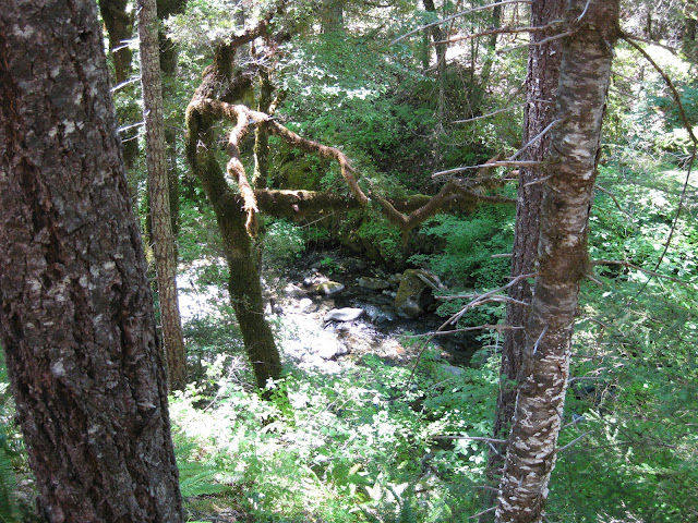
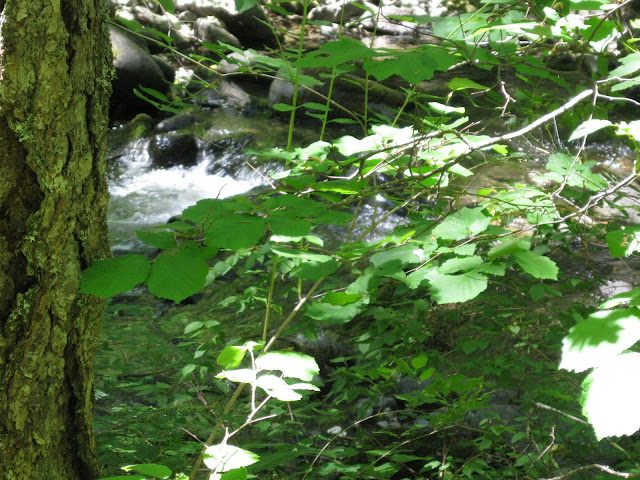
Our trail wound alongside one of the Applegate branches, and we followed it deep into the wild country on the Middle Fork. Although the sun was hot, it seemed as though this inner world of "old growth" forest controlled it's own temperature. A constant breeze accompanied us as our trail went from the side of the gorge, to drop down to the very water's edge. At times we were along the edge of fabulous pools, and lagoons that were so breathtaking, it was hard to believe this much wild country can exist.
We have been in some of our United States where areas such as this would be State Parks, but Oregon is so rich in abundant beauty that we take such beauty for granted.
Having lived in Minnesota, and Wisconsin, I became suddenly aware that there was something drastically wrong! My alarm bells were screaming "Danger!" Then I realized what was wrong-- We were sitting on this massive rock with NO MOSQUITOES! In Minnesota, the evil critters would have gnawed down trees to get at us!
If you have never had the chance to walk alongside a waterway with only an occasional butterfly for a companion, then welcome home!
The clear, cold mountain waters flow rapidly, as if they know that the Pacific Ocean is still a hundred miles away before they can rest.
Nature rules out here. We chose to go under this one, as a slip climbing over the top would have meant a rough slide down to the top of this tree lying about seventy feet down the cliff.
Everywhere, it was apparent that nature only tolerates our presence, and you wonder how our early miners could possibly have dug in these boulder-strewn streams to get down to "bedrock" where the finer gold was waiting. Trees reach so high that you can't begin to see the tops.
This "Green Pool" is well documented in historical journals, and many hikers have used it for a point of reckoning. Deep, clear, and cold.
I could not restst just trying a variety of shots--Amateurs do this.
The small fish came out in the sun, but the big guys stayed about ten feet down in the darkened areas.
Another log but easier this time.
The fun thing about this hike is that there was not another human anywhere.
They say that Sasquatch lives in this area, but I'm sure they heard us coming for miles!
We hiked an extra couple of miles to see if we could find the end but at this point, the only option would have been to cross the stream, as the trail appeared to continue on the other side.
This was a mining claim, and it is okay to cross it but no gold hunting is allowed.
Instead of continuing, and then having to walk all those miles back with wet boots, we chose to go back and take a short detour back down the mountain.
We found what we were looking for at our detour: You can see the concrete footing on the other side at the waters edge; at one time this was support for a single log bridge that spanned this crossing. The log was eighty feet long!
From the bridge location, the water plunges down a steep gully to a pond waiting below. The footbridge led to a mining cabin on the other side. Everywhere along the water you will find signs posted about everywhere you go, someone claims the mining rights, so enjoy, just don't plan to pick up any souvenirs.
With such a beautiful, and scenic trail, we end it here, and make our way back to the point of embarkation.
Thanks to Gary Swanson for providing this post!


No comments:
Post a Comment